GVLT NEWS
Get the Latest Trails and Land Conservation Updates

Gallatin County Open Lands Program protects prime farmland, scenic views on Gooch Hill
One of the 64 projects supported by the Gallatin County Open Lands Program is the 300-acre Bos Hay & Grain conservation easement on Gooch Hill, an area just east of Gallatin Gateway known for its prime agricultural soils and breathtaking panoramic views.

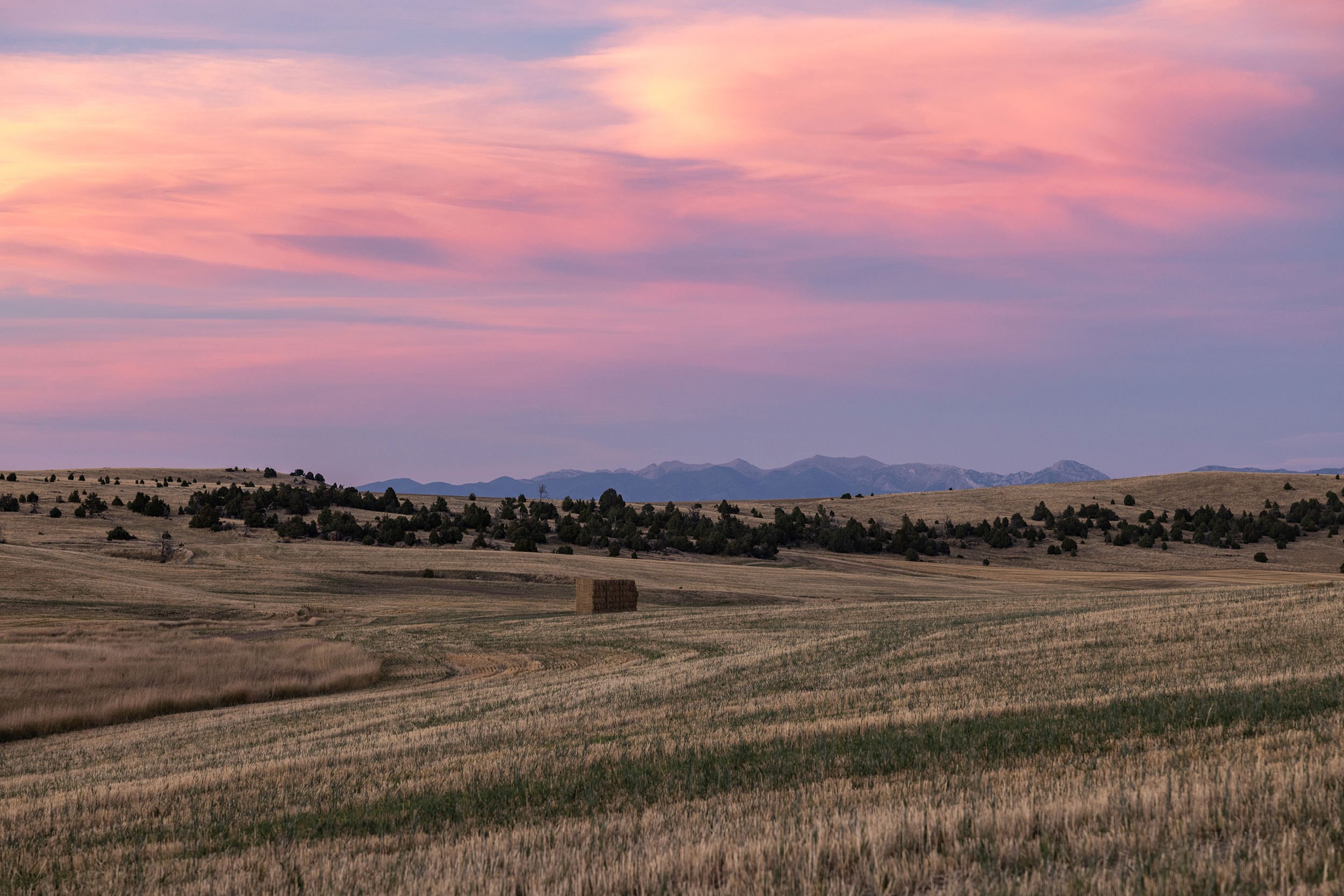
Historic Trail Creek Ranch Conserved: 884 acres in Paradise Valley to remain forever open
Robert and Valerie Anderson have partnered with GVLT’s Northern Yellowstone Open Lands initiative of Gallatin Valley Land Trust to conserve their 884-acre historic family ranch, located southwest of Livingston in the Trail Creek area.

Introducing Our New Guest Column: On the Trail With Dayle
Introducing our new monthly guest column, “Dayle on the Trail.” Dayle shares stories about exploring new trails, tips on footwear for different seasons, reflections on trail photography, and interviews on the trail.
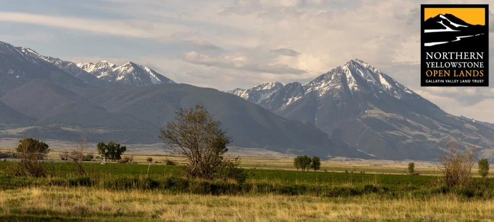
GVLT Launches Northern Yellowstone Open Lands Initiative in Park County
In response to growing interest from Park County landowners, community members, and conservation partners, GVLT has launched Northern Yellowstone Open Lands—a conservation initiative based in Livingston, Montana.
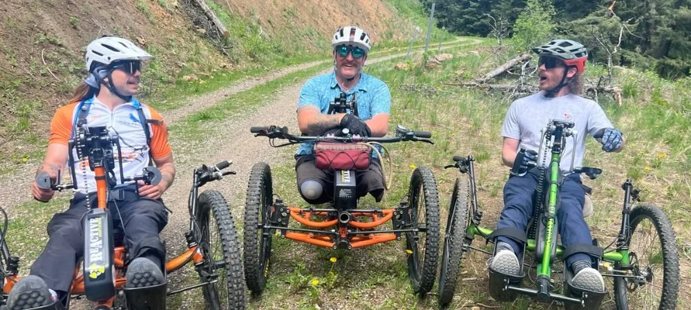
New All-Abilities Trails at Sunset Hills
In partnership with the City of Bozeman Parks and Recreation Department, GVLT is building a vibrant trail network around the 30-acre open field of Sunset Hills, located between Lindley Park and Bozeman Health, which will be accessible to all ages and abilities.

Celebrating 25th Anniversary of Gallatin County’s Open Lands Program
This year marks the 25th anniversary of the voter-approved Gallatin County Open Lands Program. Learn how the program has helped us preserve the things we love about our region, even as the community continues to grow and change.

Let’s Be a Serviceberry
Read a review of The Serviceberry: Abundance and Reciprocity in the Natural World, the latest book from author Robin Wall Kimmerer, from a longtime GVLT friend and supporter.

Coming Soon: Burke Park Traverse
Learn about the latest enhancement “Bozeman’s Central Park.”

How One Hike on Peets Led to Legacy Giving
Learn about the latest enhancement “Bozeman’s Central Park.”

A Love Letter to the GVLT Family
From GVLT Associate Director EJ Porth, as she prepares to walk a new trail and start a new professional adventure.

Looking Back: GVLT’s First Conservation Easement
Our land conservation work began shortly after our founding in 1990 when 86-year-old Gertrude Baker came to GVLT to help forever protect her 181-acre property on Bozeman Pass and the wildlife depending on it.

The Perfect Hiking Companion
Stock your daypack with the Flora of the Yellowstone field guide, which includes more than 400 species of wildflowers, shrubs, trees, and other flora of the Greater Yellowstone Region. Bozeman author Whitney Tilt generously donates all proceeds of the guide to GVLT’s work on trails and conservation.

Songs of Shoulder Season
Before you hit the trail during should season, there are a few things you should know to keep both yourself and the trails in good shape.

GVLT Welcomes Five New Board Members
We are thrilled to welcome five new members to our governing Board of Directors. Learn more about this talented and dedicated group of individuals.
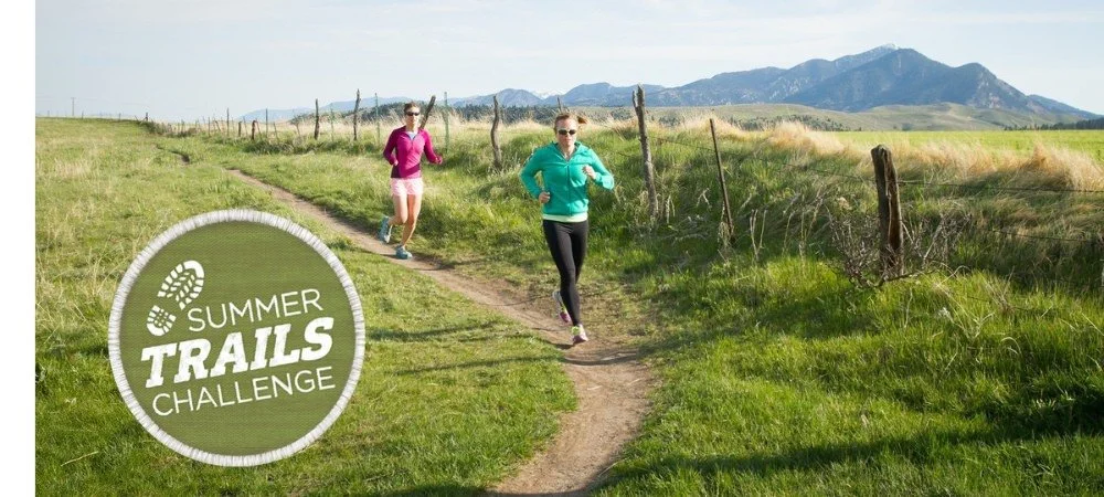
Local Businesses: Be a Trails Hero!
In honor of our 10th anniversary, we’re going bigger than ever—$100,000 raised and 100,000 miles logged. Your business can help us get to the starting line. Please consider a business partnership with GVLT and help us protect the quality of life we all enjoy here in Southwest Montana.

GVLT Again Achieves National Recognition
GVLT has been awarded one of the highest distinctions in private land conservation, accreditation by the Land Trust Accreditation Commission, for the fourth time.

East Gallatin River corridor gains nearly 400 acres of protected land through easement
The Rieschel family partnered with GVLT to voluntarily establish a conservation easement, ensuring their scenic and productive land in the East Gallatin River corridor will remain forever open and available for agriculture.

Ferry Creek Ranch Placed in Conservation Easement
GVLT has partnered with Rob Forstenzer to conserve his 546-acre Ferry Creek Ranch in Park County northeast of Livingston.

Gallatin County Issues Initial $550,000 to Help Amaltheia Dairy Buy and Preserve its Farm
Amaltheia Organic Dairy received preliminary approval to use more than $550,000 in taxpayer dollars to help purchase its leased acreage in exchange for placing the farm into a conservation easement to preserve it in perpetuity.

Guest Column: We Still Have the Pen to Write our Future Headlines
All eyes are on us, the West is watching what we do, and maybe more importantly, what we don’t do. What will the headlines say about what happened to paradise and the people who had the chance to save it?